
Routes
Cycling Routes in Warsaw
A look at Warsaw's dedicated cycling corridors, the Vistula riverside path and the cross-city EuroVelo connections.
Read more →A reference for cyclists navigating Poland's growing network of dedicated lanes, shared paths and urban bike-sharing systems.

Warsaw has built over 650 km of cycling infrastructure over the past decade. This article maps the key corridors, junction points and practical details for daily commuters and visitors.
Read the article →Detailed coverage of cycling infrastructure across Polish cities, organised by theme.
A look at Warsaw's dedicated cycling corridors, the Vistula riverside path and the cross-city EuroVelo connections.
Read more →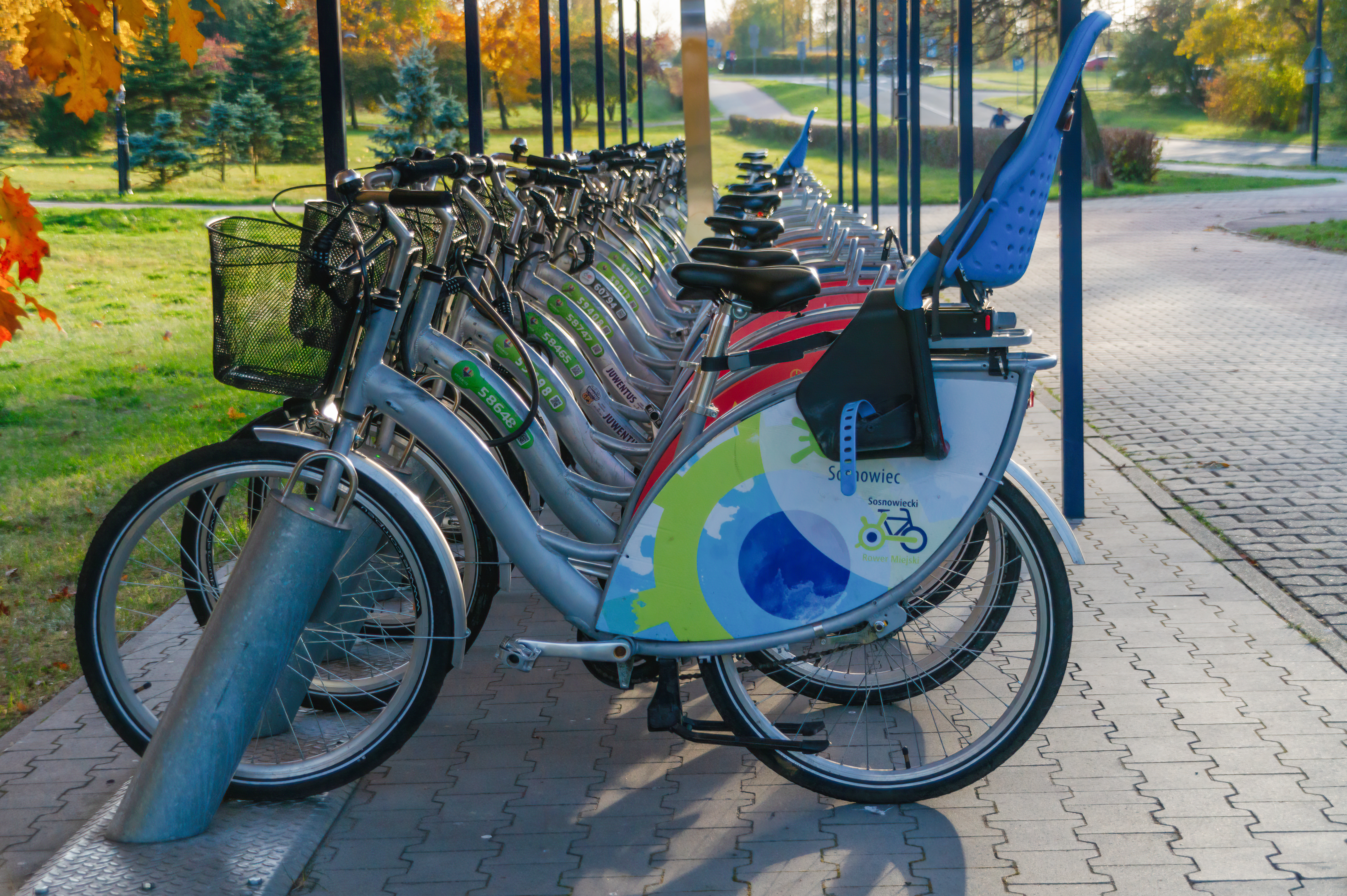
How Polish cities are addressing secure cycle parking: from simple racks to covered multi-storey facilities at rail stations.
Read more →
Bike-sharing schemes, multimodal connections and how cycling integrates with public transport across Polish urban centres.
Read more →Selected figures from publicly available municipal and national transport reports.
Understanding the different categories of cycling infrastructure in Polish cities.
Fully separated from motor traffic. Marked with the blue circular sign and the white bicycle symbol. Found primarily in parks, riverside corridors and new housing estates. The standard varies between municipalities — surface quality and width differ significantly from one city to another.
A combined surface for cyclists and pedestrians, marked with the blue sign showing both a bicycle and a walking figure. Common in areas where space does not allow a separate lane. Priority rules at crossings depend on local signage — cyclists should reduce speed where pedestrian density is high.
A painted lane within the roadway, separated only by road markings (sign P-23). Increasingly used on city-centre arterials where a physical barrier is not feasible. Quality varies: some lanes are protected with flexible posts; others rely solely on surface markings without physical separation.
Residential and inner-city zones where motor traffic speed is capped at 30 km/h. Cyclists share the road surface with cars. Used in older city centres where retrofitting a separate lane is not practical. The effectiveness of these zones for cyclist safety depends on enforcement and physical traffic-calming measures.